 usgs | A new U.S. Geological Survey study documents that the Nation's aquifers are being drawn down at an accelerating rate.
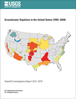
Groundwater Depletion in the United States (1900-2008)
comprehensively evaluates long-term cumulative depletion volumes in 40
separate aquifers (distinct underground water storage areas) in the
United States, bringing together reliable information from previous
references and from new analyses.
"Groundwater is one of the Nation's most important natural resources.
It provides drinking water in both rural and urban communities. It
supports irrigation and industry, sustains the flow of streams and
rivers, and maintains ecosystems," said Suzette Kimball, acting USGS
Director. "Because groundwater systems typically respond slowly to human
actions, a long-term perspective is vital to manage this valuable
resource in sustainable ways."
To outline the scale of groundwater depletion across the country,
here are two startling facts drawn from the study's wealth of
statistics. First, from 1900 to 2008, the Nation's aquifers, the natural
stocks of water found under the land, decreased (were depleted) by more
than twice the volume of water found in Lake Erie. Second, groundwater
depletion in the U.S. in the years 2000-2008 can explain more than 2
percent of the observed global sea-level rise during that period.
Since 1950, the use of groundwater resources for agricultural,
industrial, and municipal purposes has greatly expanded in the United
States. When groundwater is withdrawn from subsurface storage faster
than it is recharged by precipitation or other water sources, the result
is groundwater depletion. The depletion of groundwater has many
negative consequences, including land subsidence, reduced well yields,
and diminished spring and stream flows.
While the rate of groundwater depletion across the country has
increased markedly since about 1950, the maximum rates have occurred
during the most recent period of the study (2000–2008), when the
depletion rate averaged almost 25 cubic kilometers per year. For
comparison, 9.2 cubic kilometers per year is the historical average
calculated over the 1900–2008 timespan of the study.
One of the best known and most investigated aquifers in the U.S. is
the High Plains (or Ogallala) aquifer. It underlies more than 170,000
square miles of the Nation's midsection and represents the principal
source of water for irrigation and drinking in this major agricultural
area. Substantial pumping of the High Plains aquifer for irrigation
since the 1940s has resulted in large water-table declines that exceed
160 feet in places.
The study shows that, since 2000, depletion of the High Plains
aquifer appears to be continuing at a high rate. The depletion during
the last 8 years of record (2001–2008, inclusive) is about 32 percent of
the cumulative depletion in this aquifer during the entire 20th
century. The annual rate of depletion during this recent period averaged
about 10.2 cubic kilometers, roughly 2 percent of the volume of water
in Lake Erie. Fist tap Dale.


0 comments:
Post a Comment